
Works without internet
GPS recording, area calculation and the PDF report all work offline. The map background needs data only the first time you view an area.
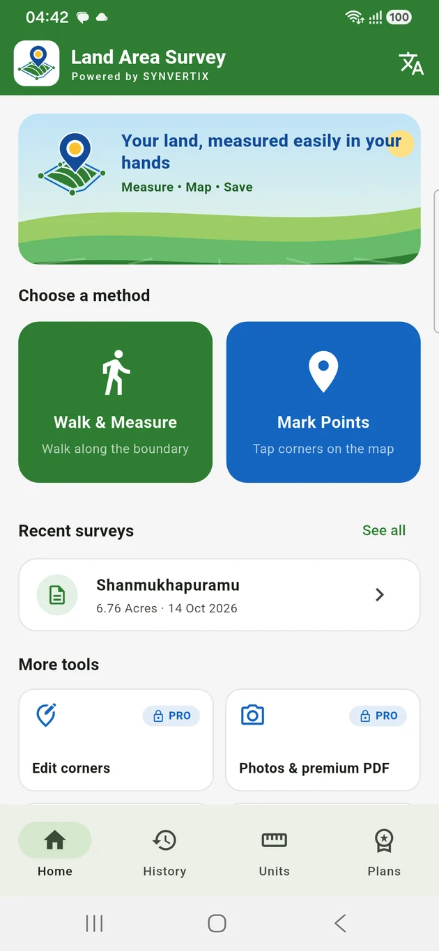
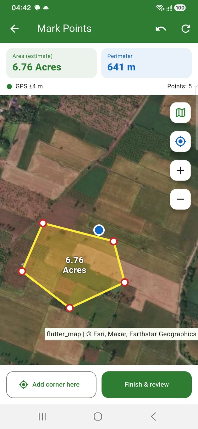
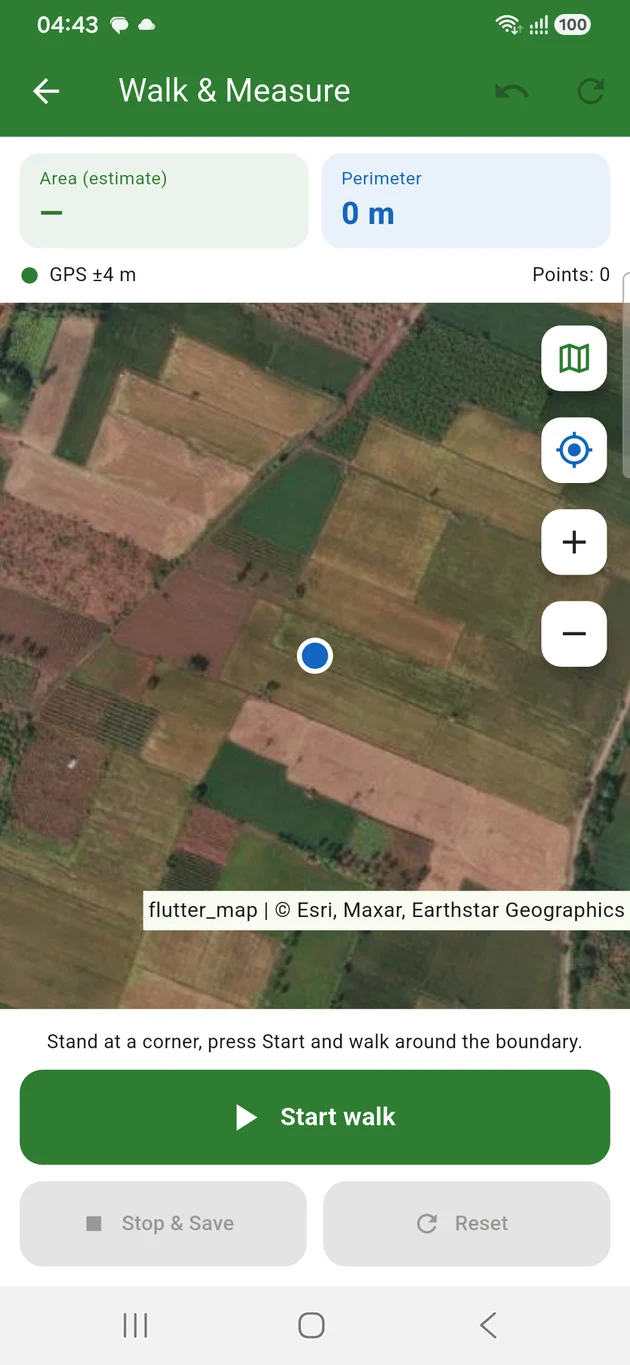
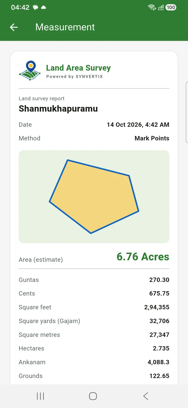
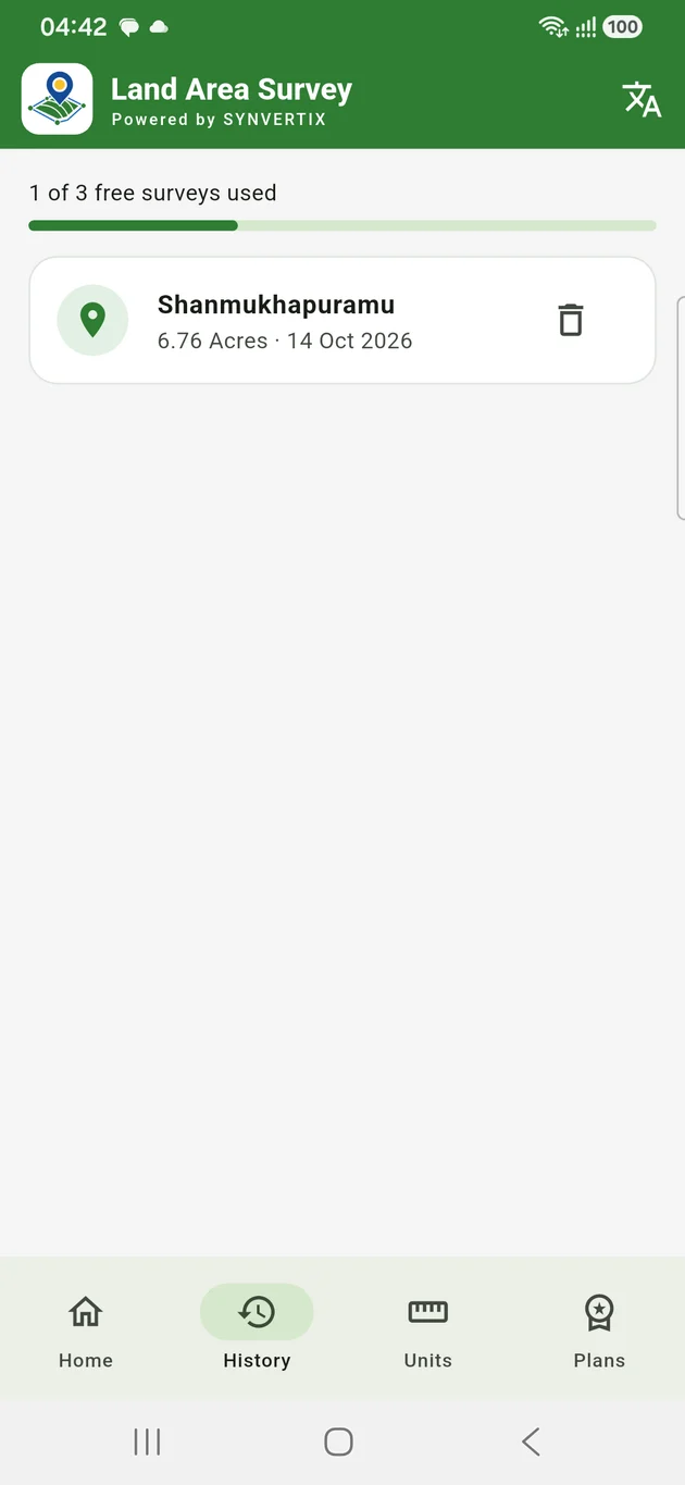
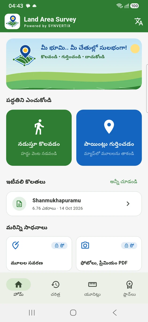
Every feature is visible in the app. Locked ones show which plan includes them.
GPS recording, area calculation and the PDF report all work offline. The map background needs data only the first time you view an area.
Stand still at a corner for a few seconds and the app averages many GPS readings into one steadier point.
Surveys autosave as you move. If the phone restarts or the battery dies, you continue from where you stopped.
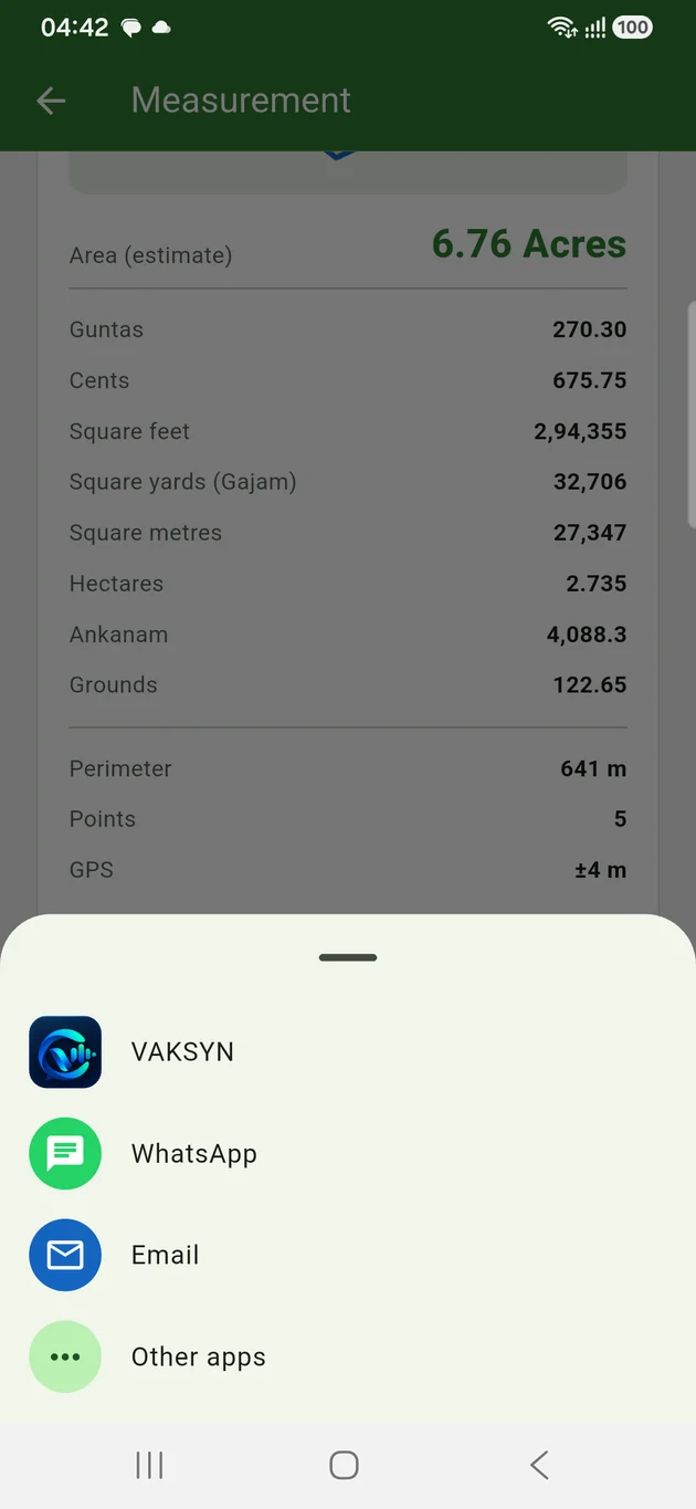
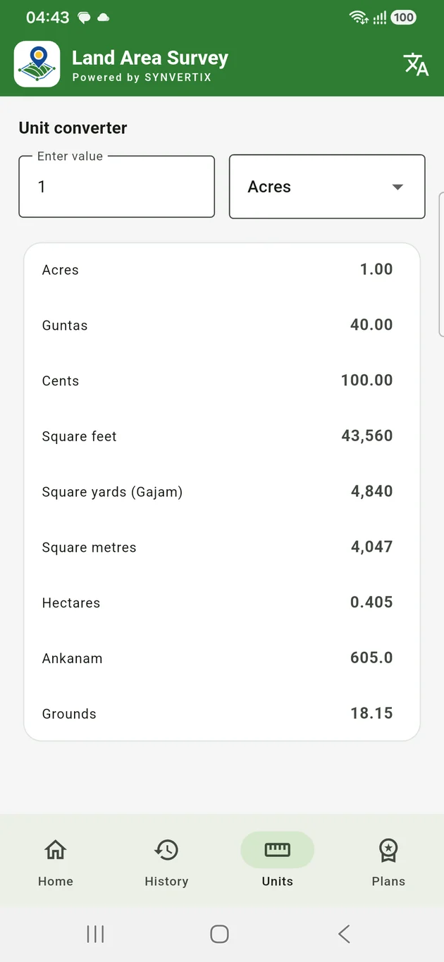
Acres, guntas, cents, square yards (gajam), ankanam, grounds, hectares — every result is shown in all of them.
The app shows the accuracy your phone reports and warns you before you save a weak measurement.
Drag a corner to the right spot. The original walk is kept and the report says it was adjusted.
Attach field photos and notes, and export KML, GeoJSON or GPX for Google Earth and GIS tools.
Staff accounts, survey assignments and PDFs with your business name and logo.
A phone usually knows its position within about 3 to 5 metres under open sky. On a field of an acre or more that gives a useful estimate. On a small house plot the same error is a large share of the plot, so the app warns you and a tape measure will serve you better.
Land Area Survey estimates area from phone location data. It is not an official government, cadastral or legally certified survey.

VAKSYN is the messaging app from Synvertix, made in India. Send a survey report to your family, buyer or surveyor straight from Land Area Survey.
The Android app is in development. Write to us and we will tell you when it is on Google Play.
Email us